Setting & Geology
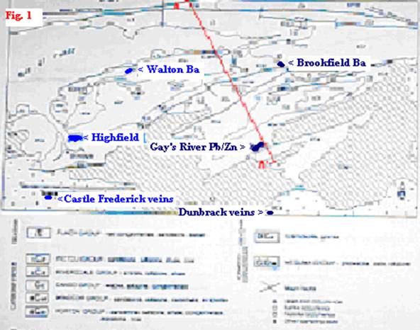
The Highfield site’s potential for mineralization is why this exploration concession was taken. This claim block located on Fig .1 described as being exactly 60 km due east of the Highfield claims block is the Gays’ River Lead /Zinc (Pb/Zn) mine located at Lat. 45º 02’N and Long. 63º 21′ W. The Gays’ River mine is a “Mississippi Valley” “Alpine” type metal deposit (Pb, Zn, Ag) that is onlaped onto the structural flank of an unconformity.

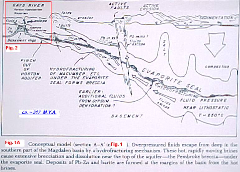
With the Gays’ River studied geology as a parallel GiftHorse Resources chose as its strategy to drill a reconnaissance drill hole on the northern flank of the anticline already indirectly established by the geophysical methods. A combination of previous geophysical surveys (1963 Aeromagnetic survey by DND and NRC, the 2001 Lithoprobe magnetic and gravimetric survey by NRC, GSC, and the 2002 NorthStar/Devon Oil seismic survey), along with the interpretation of the Moore & Ferguson 1986 geological map, identified a Meguma anticline, which formed the surface topography (bathymetry) of the basin’s floor in the Visean epoch. This Meguma anticline in this marine setting formed an elongated rounded submarine hill near the rim of the abyss, which by circulation updraft favoured the building of a marine bioherm (quasi reef) at its top.
Based on previously drilled core from the Castle Frederick region, projections towards the centre of the Highfield claim block the paleo marine waters would be arond 30 meters above the floor and the Macumber Formation would be approx 10 to 20 m. thick. This ought to create an ideal reef producing condition, where the basin floor is underlain with a Meguma anticline in the same pitch and composition, a virtual en echelon extension of the anticline, which then duplicates that condition which frames the bathymetry of the marine floor of the Gays River deposit. On the northern limb of this anticline at the Gays River site the limestone breccia dips down 150 metres. At the Highfield site the magnetic field interpretation reveals a similar elevation change between the north floor of the synclinal basin and the top of the hill that is the knee axis of this anticline.


